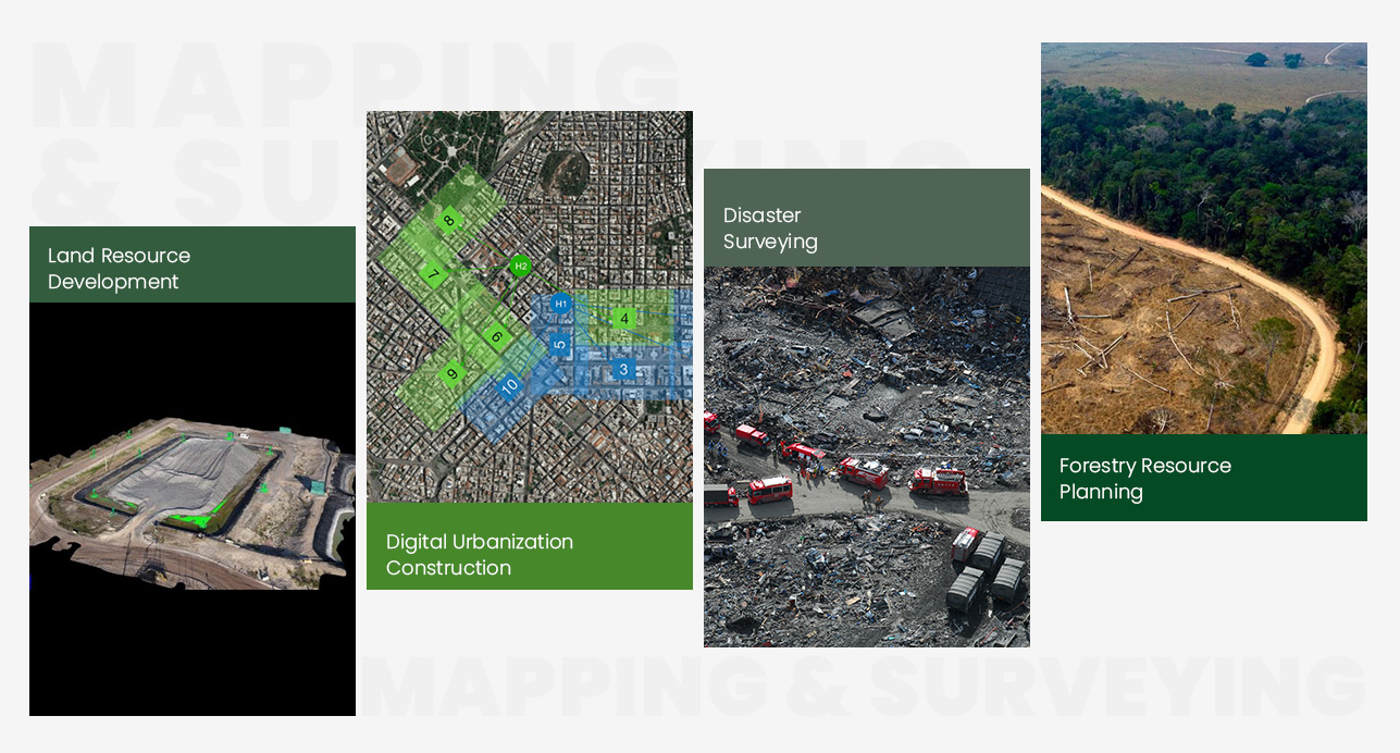
Mapping & Surveying
Aerial mapping and surveying is an advanced photogrammetry method characterized by exceptional flexibility, efficiency, and precision. It offers significant advantages in the rapid acquisition of high-resolution imagery, particularly within confined areas and complex terrains, while maintaining low operational costs and accelerated project cycles.
Our specialized surveying platforms can be equipped with a diverse array of remote sensing payloads, including high-resolution digital sensors, LiDAR (Laser Scanners), and multispectral cameras. The captured data is processed through sophisticated software to generate high-precision deliverables that meet stringent industry standards.
Driven by advancements in autonomous flight technology and sensor innovations, these unmanned surveying solutions have become an integral component of the GIS ecosystem. They are widely deployed in land resource management, digital urban development, disaster assessment, and forestry planning.